SeismicPortal
 is the European Infrastructure
 for seismological products in :
is the European Infrastructure 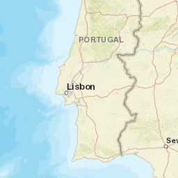


| Datetime (UTC) rmsOT_error |
Lat Smajor |
Lon Sminor |
D. (Km) AzErr |
Ndef mdist |
Nsta Mdist |
Gap | Mag1 (N) Err |
Mag2 (N) Err |
Mag3 (N) Err |
Author Quality |
|---|---|---|---|---|---|---|---|---|---|---|
| 2024-07-23T04:54:34.58Z 0.39+/- 1.66 |
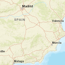
36.4818 18.2 |
-3.8018 9.1 |
24.9 16722.3 |
4 0.41 |
2 0.786 |
256.3 | ml 1.6 (3) 0.3 |
() |
() |
IGN m i ke |
| Sta | Dist | EvAz | Phase | Datetime | Tres | Azim | AzRes | Slow | SRes | Def | SNR | Amp | Per | Mag1 | Mag2 |
|---|---|---|---|---|---|---|---|---|---|---|---|---|---|---|---|
| ELGU | 0.41 | 20.03 | Pg | 2024-07-23T04:54:42.568Z | -0.3 | ||||||||||
| ELGU | 0.41 | 20.03 | Sg | 2024-07-23T04:54:48.415Z | -0.6 | 9.315e-7 | ML 1.9 | ||||||||
| EMIJ | 0.786 | 276.31 | Pg | 2024-07-23T04:54:49.292Z | 0.4 | ||||||||||
| EMIJ | 0.786 | 276.31 | Sg | 2024-07-23T04:54:58.909Z | -0.7 | 1.496e-7 | ML 1.4 | ||||||||
| Sta | Dist | EvAz | Phase | Datetime | Tres | Azim | AzRes | Slow | SRes | Def | SNR | Amp | Per | Mag1 | Mag2 |
| Centroid | Nodal Plan 1 | Nodal Plan 2 | Tensor | Moment Inf. | |||||||||||||||||
|---|---|---|---|---|---|---|---|---|---|---|---|---|---|---|---|---|---|---|---|---|---|
| Auth | Datetime | Lat | Lon | Depth | Mw | Strike | Dip | Rake | Strike | Dip | Rake | Mrr | Mtt | Mpp | Mrt | Mrp | Mtp | %DC | %ISO | %CLVD | |
| Auth | Datetime UTC | lat | lon | Depth | Mw | Strike | Dip | Rake | Strike | Dip | Rake | Mrr | Mtt | Mpp | Mrt | Mrp | Mtp | %DC | %ISO | %CLVD | |

