SeismicPortal
 is the European Infrastructure
 for seismological products in :
is the European Infrastructure 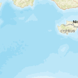


| Datetime (UTC) rmsOT_error |
Lat Smajor |
Lon Sminor |
D. (Km) AzErr |
Ndef mdist |
Nsta Mdist |
Gap | Mag1 (N) Err |
Mag2 (N) Err |
Mag3 (N) Err |
Author Quality |
|---|---|---|---|---|---|---|---|---|---|---|
| 2023-09-21T20:29:42.3Z +/- |
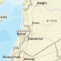
35.9387 |
35.9172 |
2.5 |
20 0.487 |
18 2.496 |
233.7 | ml 2.2 () |
() |
() |
KOERI m i ke |
| Sta | Dist | EvAz | Phase | Datetime | Tres | Azim | AzRes | Slow | SRes | Def | SNR | Amp | Per | Mag1 | Mag2 |
|---|---|---|---|---|---|---|---|---|---|---|---|---|---|---|---|
| TAHT | 0.487 | 206.49 | Pg | 2023-09-21T20:29:52.2Z | 0 | ||||||||||
| KRTS | 0.77 | 145.14 | Pg | 2023-09-21T20:29:57.7Z | 0 | ||||||||||
| CEYT | 1.079 | 172.69 | Pg | 2023-09-21T20:30:03.8Z | 0 | ||||||||||
| MERS | 1.458 | 129.07 | Pn | 2023-09-21T20:30:10.5Z | 0 | ||||||||||
| MERS | 1.458 | 129.07 | Sn | 2023-09-21T20:30:31.0Z | 0 | ||||||||||
| KARA | 1.491 | 152.01 | Pn | 2023-09-21T20:30:10.7Z | 0 | ||||||||||
| KOZT | 1.54 | 177.28 | Pn | 2023-09-21T20:30:12.1Z | 0 | ||||||||||
| GAZ | 1.612 | 220.61 | Pn | 2023-09-21T20:30:12.5Z | 0 | ||||||||||
| SLFK | 1.658 | 105.25 | Pn | 2023-09-21T20:30:12.8Z | 0 | ||||||||||
| SILI | 1.669 | 104.25 | Pn | 2023-09-21T20:30:13.4Z | 0 | ||||||||||
| SILI | 1.669 | 104.25 | Sn | 2023-09-21T20:30:36.1Z | 0 | ||||||||||
| KMRS | 1.751 | 207.09 | Pn | 2023-09-21T20:30:15.2Z | 0 | ||||||||||
| IKL | 1.833 | 98.69 | Pn | 2023-09-21T20:30:15.5Z | 0 | ||||||||||
| KEBE | 1.853 | 105.23 | Pn | 2023-09-21T20:30:16.3Z | 0 | ||||||||||
| CMRD | 1.874 | 156.32 | Pn | 2023-09-21T20:30:16.2Z | 0 | ||||||||||
| TEVE | 2.062 | 103.19 | Pn | 2023-09-21T20:30:19.3Z | 0 | ||||||||||
| BERE | 2.218 | 99.8 | Pn | 2023-09-21T20:30:21.1Z | 0 | ||||||||||
| TEKE | 2.281 | 94.29 | Pn | 2023-09-21T20:30:22.0Z | 0 | ||||||||||
| KRMN | 2.466 | 119.19 | Pn | 2023-09-21T20:30:24.4Z | 0 | ||||||||||
| SARI | 2.496 | 189.37 | Pn | 2023-09-21T20:30:25.2Z | 0 | ||||||||||
| Sta | Dist | EvAz | Phase | Datetime | Tres | Azim | AzRes | Slow | SRes | Def | SNR | Amp | Per | Mag1 | Mag2 |
| Centroid | Nodal Plan 1 | Nodal Plan 2 | Tensor | Moment Inf. | |||||||||||||||||
|---|---|---|---|---|---|---|---|---|---|---|---|---|---|---|---|---|---|---|---|---|---|
| Auth | Datetime | Lat | Lon | Depth | Mw | Strike | Dip | Rake | Strike | Dip | Rake | Mrr | Mtt | Mpp | Mrt | Mrp | Mtp | %DC | %ISO | %CLVD | |
| Auth | Datetime UTC | lat | lon | Depth | Mw | Strike | Dip | Rake | Strike | Dip | Rake | Mrr | Mtt | Mpp | Mrt | Mrp | Mtp | %DC | %ISO | %CLVD | |

